Railway Survey & Signal Sighting Support
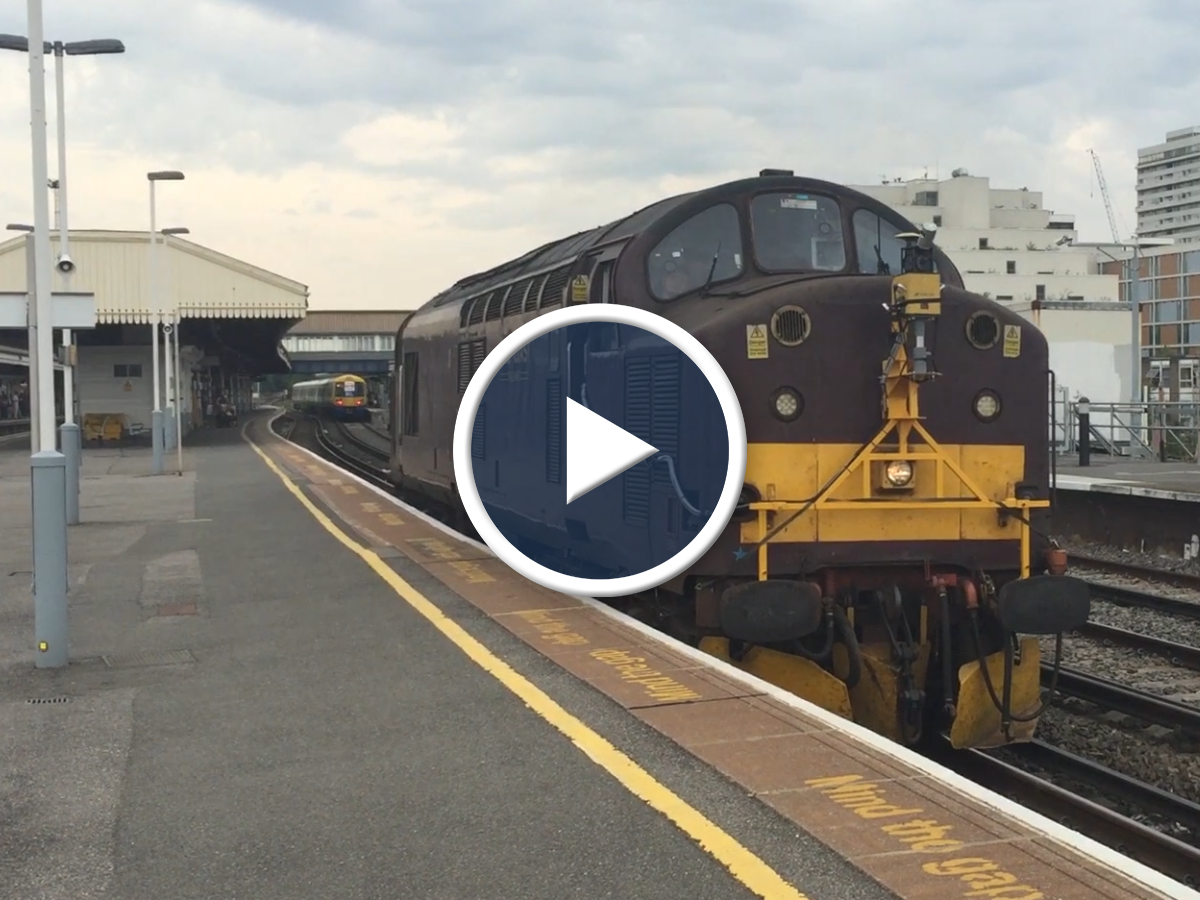
We offer laser Positional Video Surveys and Signal Sighting.
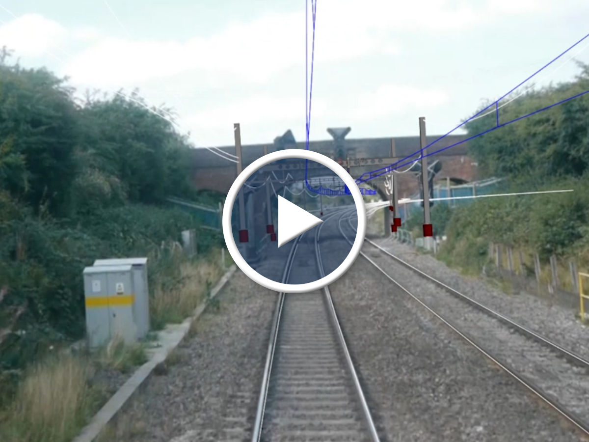
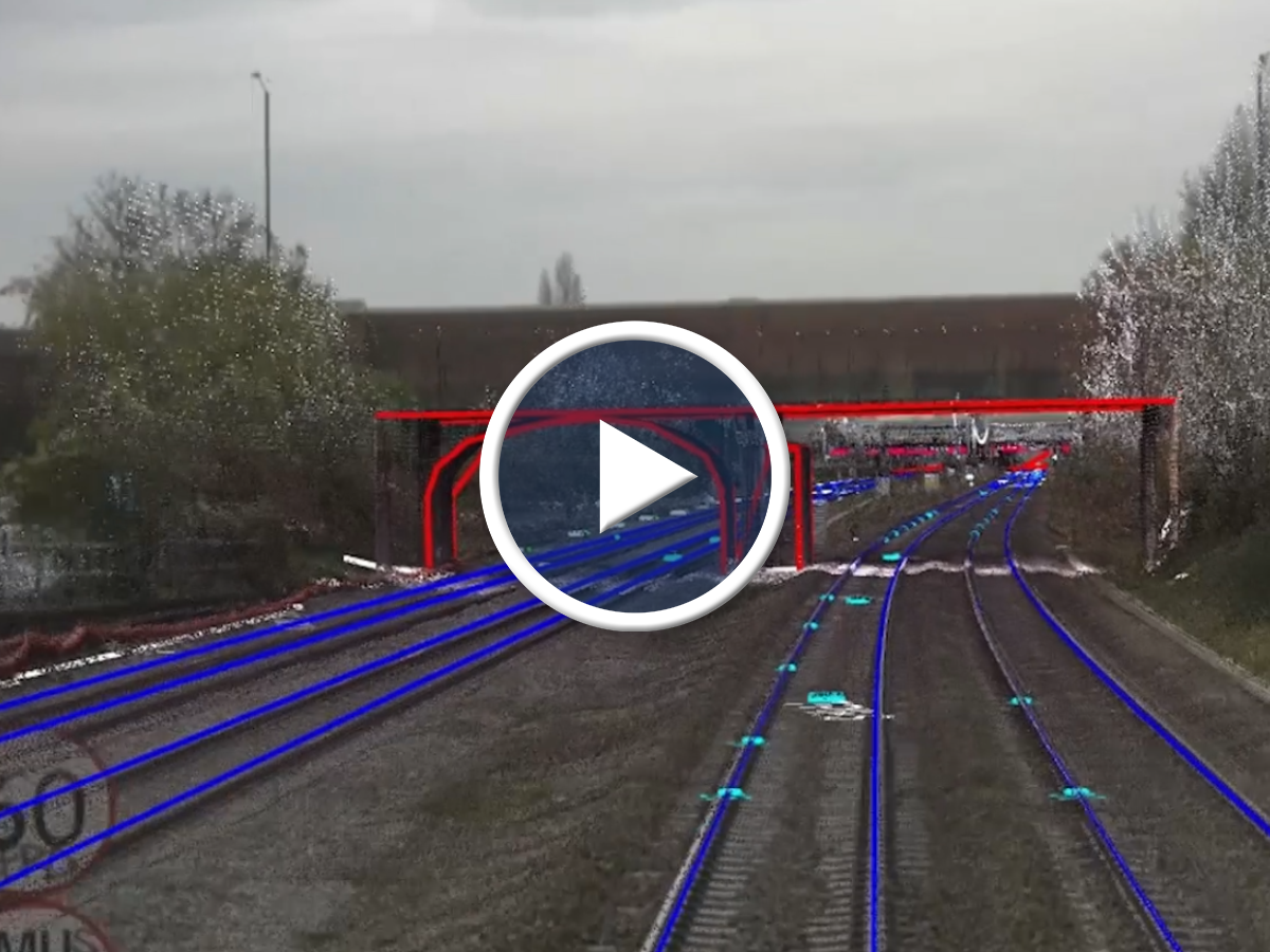
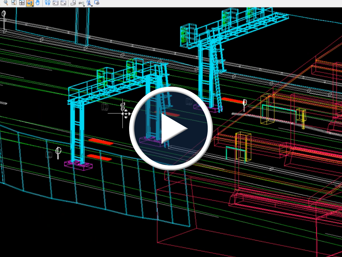
Our Laser Positional Video Survey offers Network Rail and their contractors a simple route to acquisition of comprehensive video and Pointcloud survey data. The survey specification is based on a new configuration of data gathering equipment which collects high quality HD video and accurate positional data as well as high accuracy laser scan Pointcloud. Our LPVS is a complete end to end service, where we plan, organise and complete surveys providing comprehensive scheme coverage over complex areas including stations, yards, loops and sidings. Our survey data output is supplied according to the specific requirements of individual projects which can be used to create high quality 3D Modelling. We have developed a direct feed for our survey and video data into Bentley MicroStation CAD and Bentley Rail Track Applications, which enables the survey data to form a video backdrop over CAD for 3D design and enables fully Interactive Desktop Signal Sighting and OLE design.
Signal Sighting is carried out to ensure that signals are placed in the best position possible for drivers to have the optimum reading time and a clear and unambiguous message relating to the signal aspect that is displayed subject to the constraints of legal requirements and Railway Group Standards. Signal Sighting using Desktop Tools allows a complete and accurate signal sighting solution using a combination of video footage and virtual modelling.
Want to know more about our services?
